Plot mapping
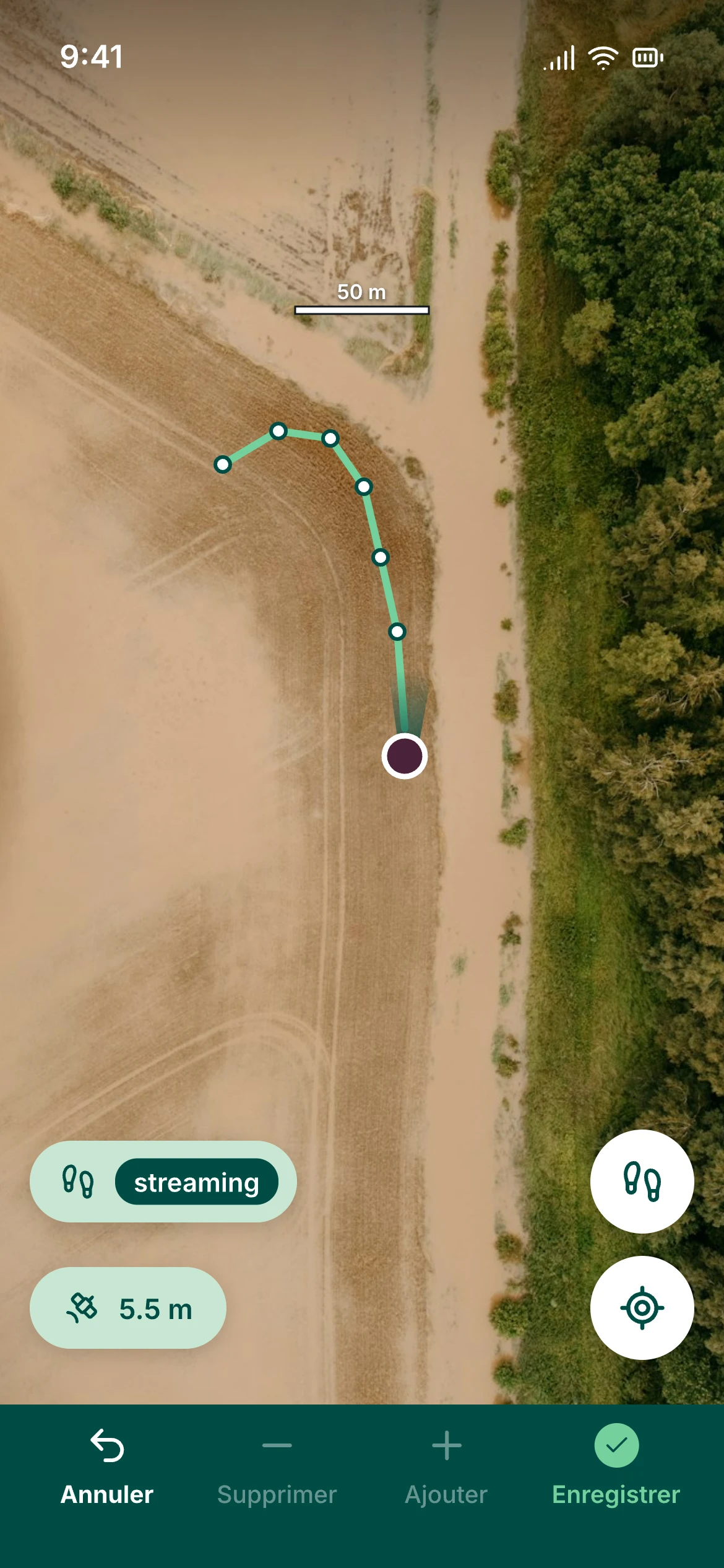
The technician walks around the plot. The phone records the boundary point by point and shows the GPS accuracy.
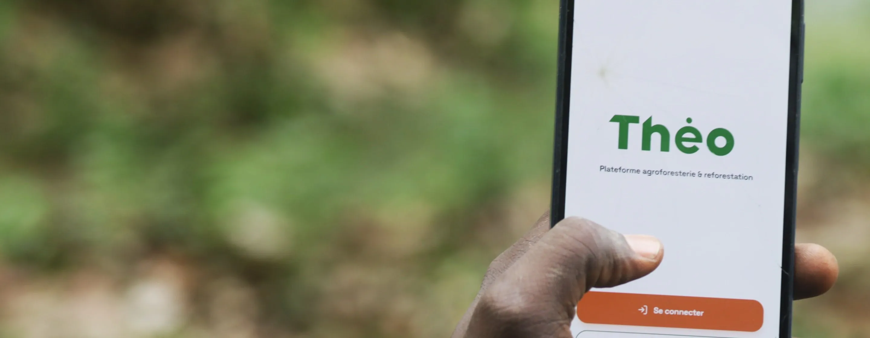
A dMRV platform: a mobile app for the people taking the measurements, a workspace for the project team, and a single evidence registry underneath.
Book a demoSix steps, from project scoping to sharing the project file with the auditor.
You choose the standard, the monitoring approach and the project areas. Theo prepares the forms, the expected evidence and each team member’s role, based on the methodology’s requirements.
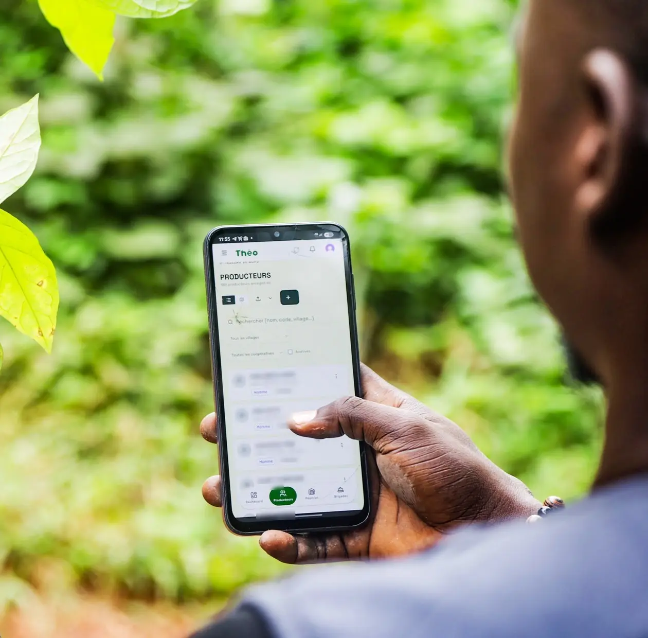
Technicians enter data on their phones, even without network coverage. Farmers, plots, seedling deliveries and photos are recorded with the location, time and author of each entry.
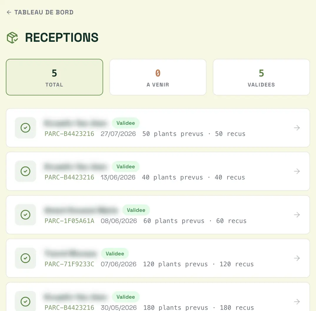
Supervisors review each record before validating it. A correction keeps the previous value and the reason for it, so the auditor sees the complete history.
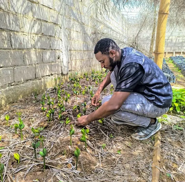
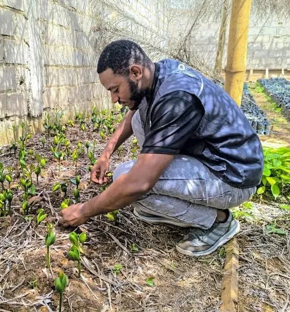
Survival, replacement planting and measurements are tracked from one monitoring period to the next, plot by plot. Each tree remains traceable to its origin, from the nursery to the planting site.
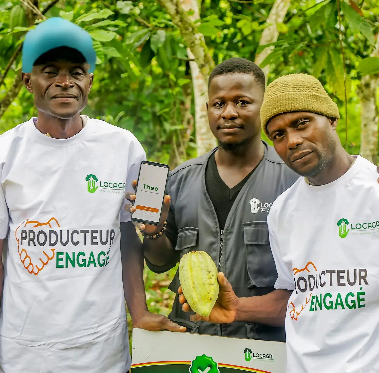
Signed agreements, training attended, seedlings received: each farmer’s commitment is on record, and so is the project’s benefit sharing.
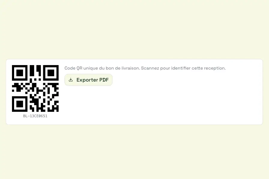
The auditor and investors can view the evidence, its versions and the supporting documents. Each evidence item has its own QR code and can be exported as a PDF.
The app for technicians, nursery operators and farmers. It works without network coverage, in French, on entry-level Android phones.
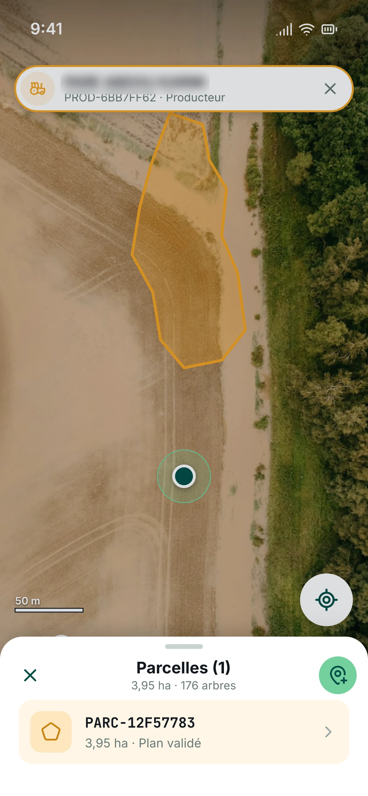
The technician walks around the plot. The phone records the boundary point by point and shows the GPS accuracy.
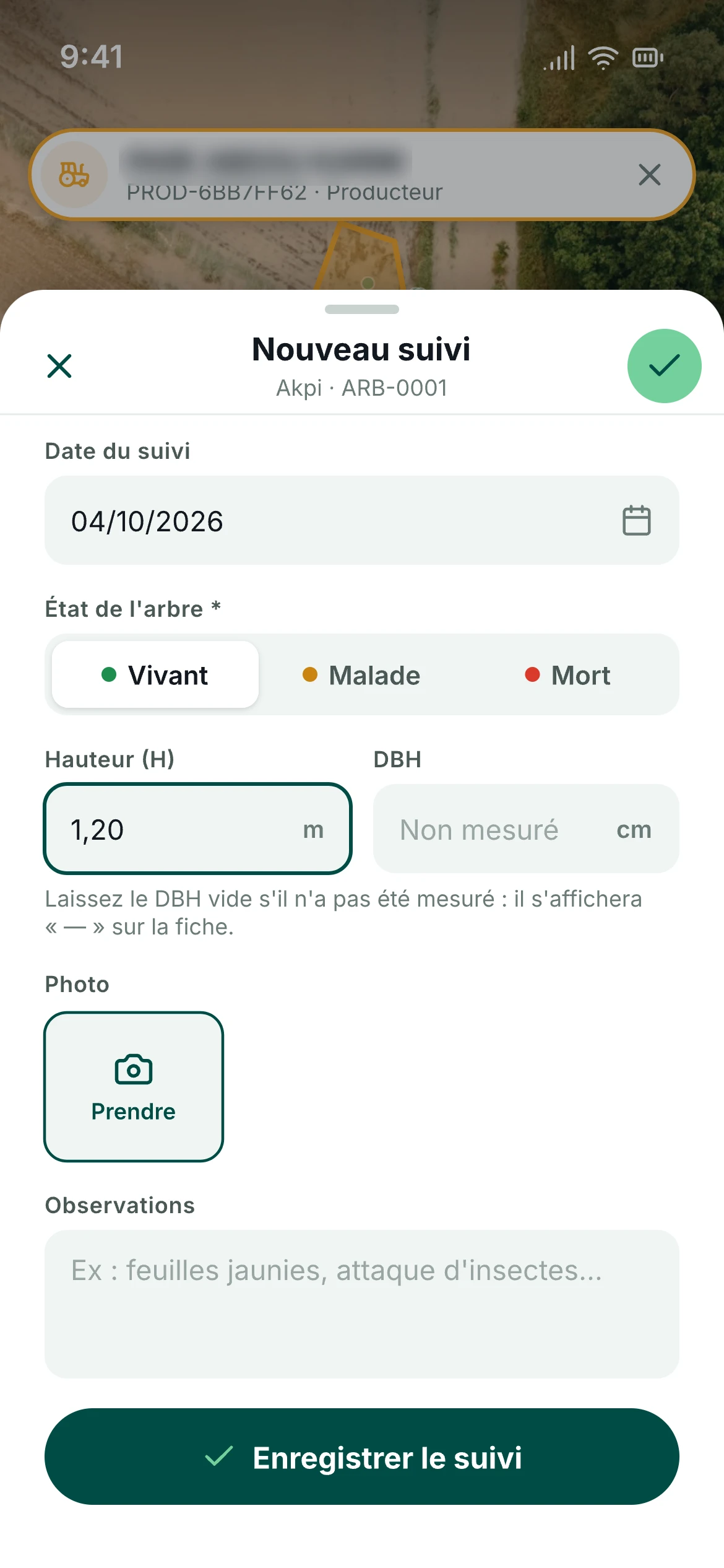
Condition, height, diameter and photo: each visit is added to the tree’s history, even without network coverage.
The project team’s workspace. Every step writes to the same registry: nothing is entered twice, nothing has to be reconciled afterwards.
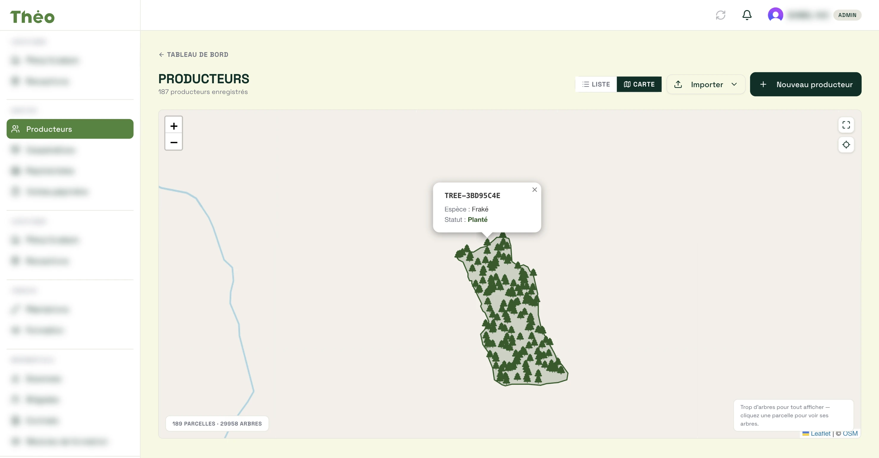
Every data point carries its own evidence, with no extra data entry for field teams.
Author, device, time, location and hash of every photo.
A corrected value keeps its history and the reason for the change.
Everyone sees what is relevant to them, from the technician to the auditor.
Biomass and carbon per tree, stocks per sample plot.
Photos and documents cannot be altered once uploaded.
Your data can be exported at any time in open formats.